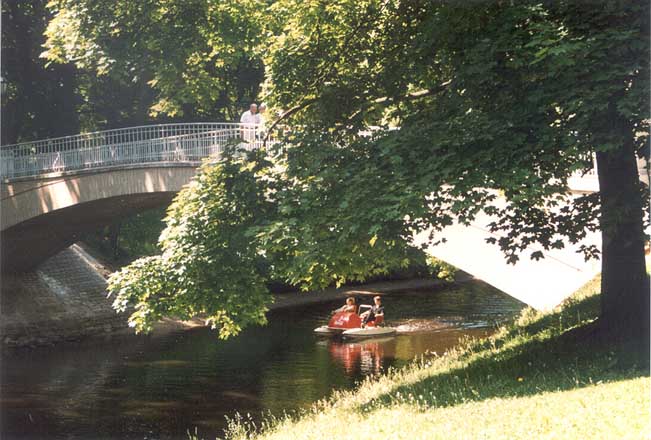
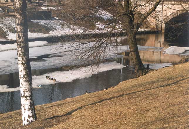
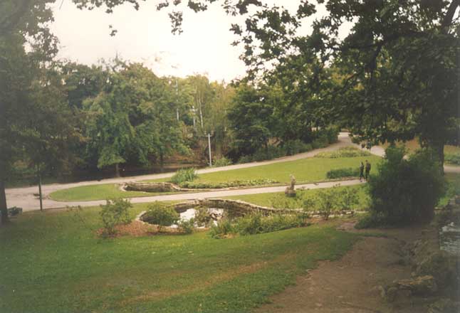
Green Areas of the City Canal
Architectural monument of local significance. Dates from the second part of the 19th century.
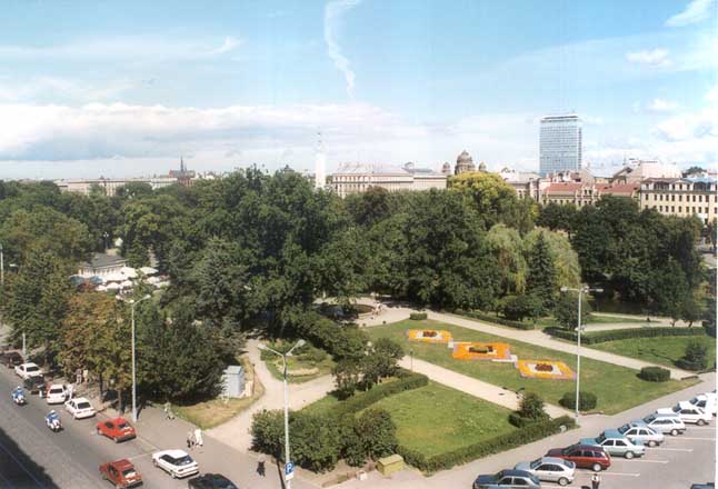
Aspazijas boulevrd
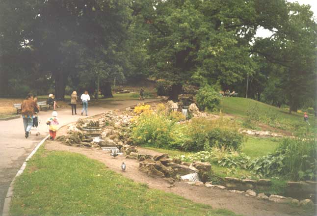
Bastion Hill
The City Canal is 3.2 km long and about 2 meters deep. Sixteen bridges of different widths cross the City Canal. For the time being City Canal together with the fortification ditches were significant parts of the Riga fortification system. Recent appearance was gained after 1857, when the ramparts were destroyed. Then the fortification moat of the City was connected to one of the Citadel's fortification moats.
It was partly filled up, but the banks were fastened with oak planks.
After the City's ramparts were destroyed in 1859 it was decided to reduce the scope of work and to leave a part of Sand's Bastion unlevelled. Some land was heaped up on this part and Bastion Hill was created.
The Green Area around Bastion Hill was developed according to the project led by A.Vents, the architect of Lübeck City gardens.
After 1880 the Green Area of Canal was completely changed under the leadership of G. Kufalts, Director of Riga City gardens, who reconstructed or developed almost all of the gardens in Riga in the early-twentieth century.
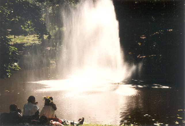
The Green Area near Opera House was developed in 1881; the fountain with sculpture was erected in 1887 (sculptor A. Folcs). The Green Area of the City Canal was reconstructed in the twenties and thirties of the 20th century according to the project of A. Zeidaks.
© Artificial Intelligence
Laboratory, IMCS,
University of Latvia |
 |